
Delivering a critical resource: {{ Water Direct }} Case
Reduction in manual route planning time.
Delivery Deadline SLA compliance since launch.
- Geocoding API
- Route Optimization API (Fleet Routing)
- Google Maps Platform
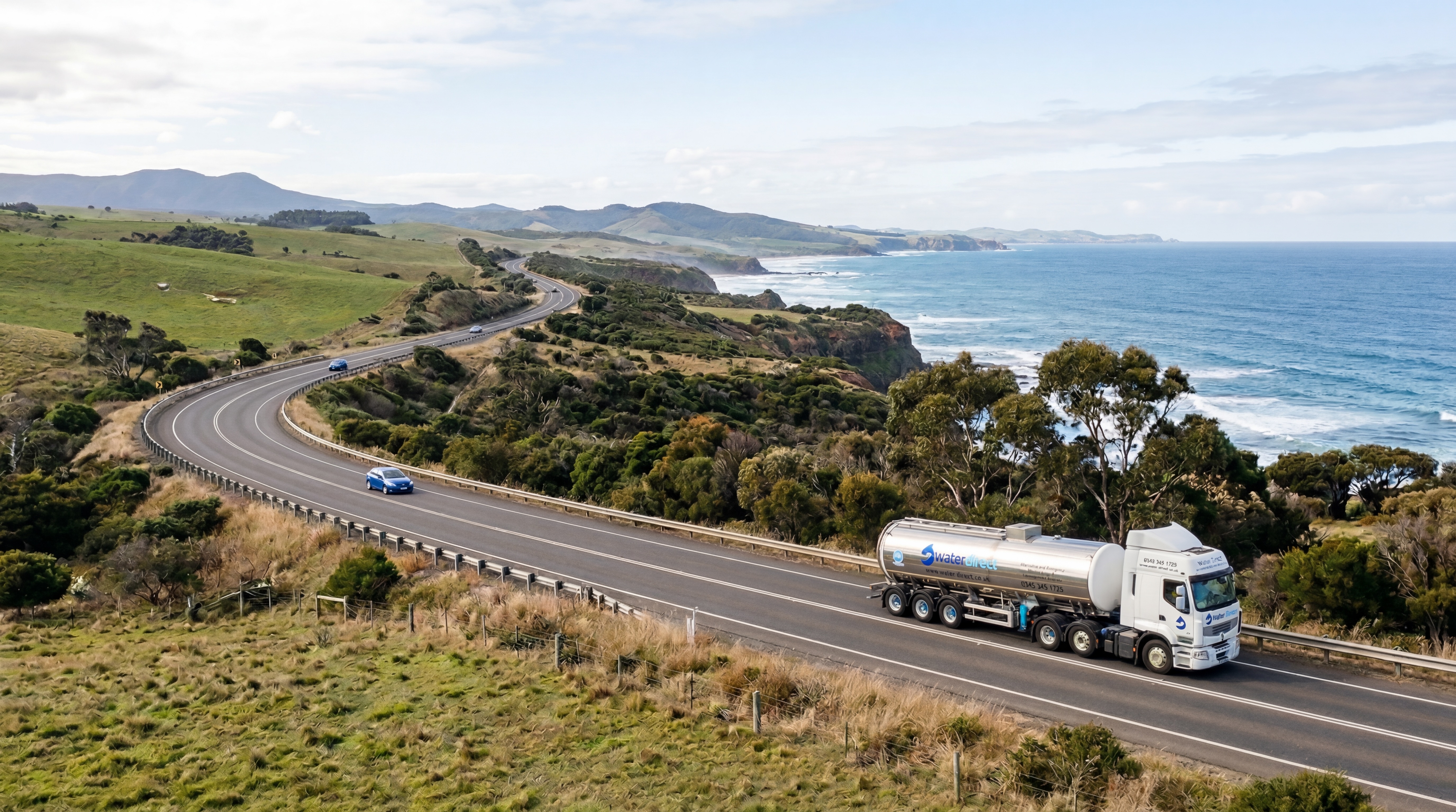
Water Direct is the UK’s leading provider of emergency alternative water supplies, serving utility companies and large-scale commercial sites. Web Geo Services engineered a real-time tracking and deployment system to ensure rapid, reliable response times during critical water outages. This geospatial solution allows their specialized fleet to navigate complex logistics and deliver essential services exactly where they are needed most.
Goal

Results

WGS-Powered Google Maps Solutions
Geocoding API
Validates and accurately positions every delivery address for doorstep precision.
Route Optimization API
Generates multi-stop routes accounting for capacity, windows, and traffic.
From Vision to Impact
Water Direct specializes in providing alternative water supplies for large-scale emergencies and planned outages, a service that requires extreme logistical precision. To maintain their 100% Delivery Deadline SLA compliance, they needed to move away from manual coordination toward a sophisticated, data-driven dispatch system. The project focused on integrating the Google Maps Platform to manage a complex network of technicians and tankers, ensuring that water reaches critical sites like hospitals and utility hubs without delay.
The technical implementation resulted in a 75% reduction in route planning time by automating the allocation of the nearest available assets. By leveraging Maps Directions and Distance Matrix APIs, Water Direct gained real-time visibility into their fleet's movements and precise arrival estimates. This digital transformation has not only optimized operational costs but has also provided the transparency needed to handle high-pressure emergency scenarios with total reliability.