
{{G7}} Transforms Its Taxi Operations with Google Maps.

Reduction in average travel times through dynamic routing.
Vehicles optimized across France using real-time navigation and operational insights.
Improvement in fleet utilization during high-demand periods.
- Google Maps Platform
- BigQuery
- Looker
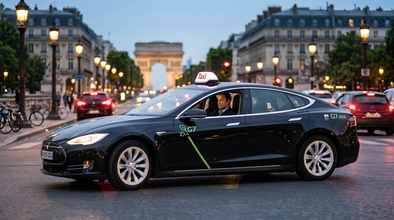
G7 is Europe’s leading taxi dispatcher, managing a sophisticated fleet in the high-density urban environment of Paris. Web Geo Services modernized their routing and dispatch systems by integrating real-time traffic data and predictive modeling to navigate complex city regulations.
Goal

Results

WGS-Powered Google Maps Solutions
Google Maps Platform
Core integration for real-time navigation and route optimization across the entire fleet.
Real-Time Location Sharing
Enables accurate ETAs and live ride tracking directly within the G7 app.
Dynamic Rerouting
Allows drivers to adapt instantly to traffic conditions for faster passenger drop-offs.
Google Maps APIs
Powers a smooth and intuitive booking experience for ride-hailing passengers.
BigQuery & Looker
Leveraged with Google Cloud to analyze mapping data for advanced operational insights and fleet analytics.
From Vision to Impact
Operating a fleet in a dense urban environment like Paris presents extreme complexity, where the decision to allocate a driver involves far more than simple distance. G7 partnered with Web Geo Services to integrate Google Maps Platform into their dispatch and routing systems to better manage multi-geographical markets and traffic regulations. The goal was to provide a new level of data-driven sophistication to traditional taxi services, ensuring that both drivers and passengers benefit from the highest quality of service.
The impact of this engineering effort was immediate, resulting in a 15% reduction in average travel times and a 20% improvement in fleet utilization. By leveraging real-time data and predictive modeling, G7 optimized its allocation systems to account for "empty time" and passenger habits. This transformation not only improved responsiveness and travel accuracy but also demonstrated how intelligent fleet management can successfully reduce the environmental impact of urban mobility.