
{{ Covéa }}: Pushing innovation in the insurance industry.

- Maps Directions API
- Maps Distance Matrix API
- Maps Geocoding API
- Maps JavaScript API
- Maps Places API
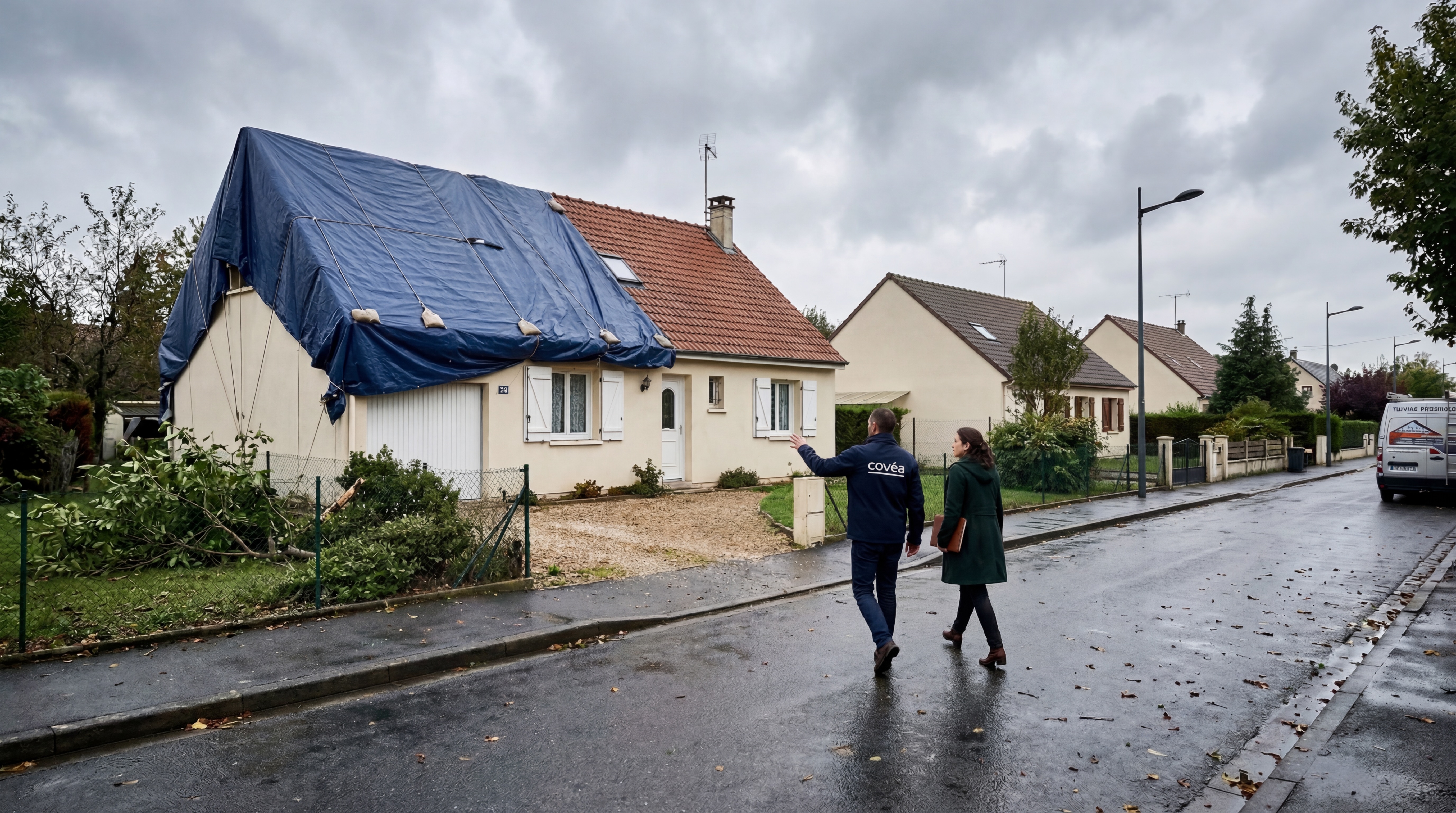
Covéa is a leading European mutual insurance group, protecting over 11 million policyholders across property, motor, and commercial sectors. Web Geo Services supported their digital transformation by embedding precision location data into their claims and risk-assessment processes.
Goal

Results

WGS-Powered Google Maps Solutions
Street View API
Helps customers identify accident locations using visual clues if they are unfamiliar with the area.
Maps JavaScript API
Powers the customer-facing reporting tool where users drop pins on a map.
Location Intelligence
Used to build more accurate risk profiling to bring down costs for 70-80% of customers.
From Vision to Impact
In a traditional industry over 250 years old, Covéa UK recognized that the future of insurance relies on digital transformation and a service-driven model. Serving over 2.1 million policyholders, the group faced the challenge of modernization while managing a massive data set across commercial, motor, and property insurance. The project focused on using location data to balance a great customer experience with critical fraud prevention, aiming to simplify the user journey for a new generation of digitally native consumers.
Covéa integrated the Google Maps Platform into its claims reporting process, allowing customers to "drop a pin" and use Street View to accurately identify accident locations. This implementation significantly reduced the lead time between an incident and its report, a critical factor in controlling costs and verifying data accuracy. By moving toward automated liability and fresher geographic information, Covéa has successfully used technology to build more accurate risk profiles and offer more competitive pricing to its customers.